Marin County will present its formal El Niño preparedness strategy to the Board of Supervisors on Tuesday, Aug. 18, outlining flood mitigation steps, emergency exercises and improved storm communication as scientists warn the coming winter could bring the highest sea levels ever recorded on the California coast.
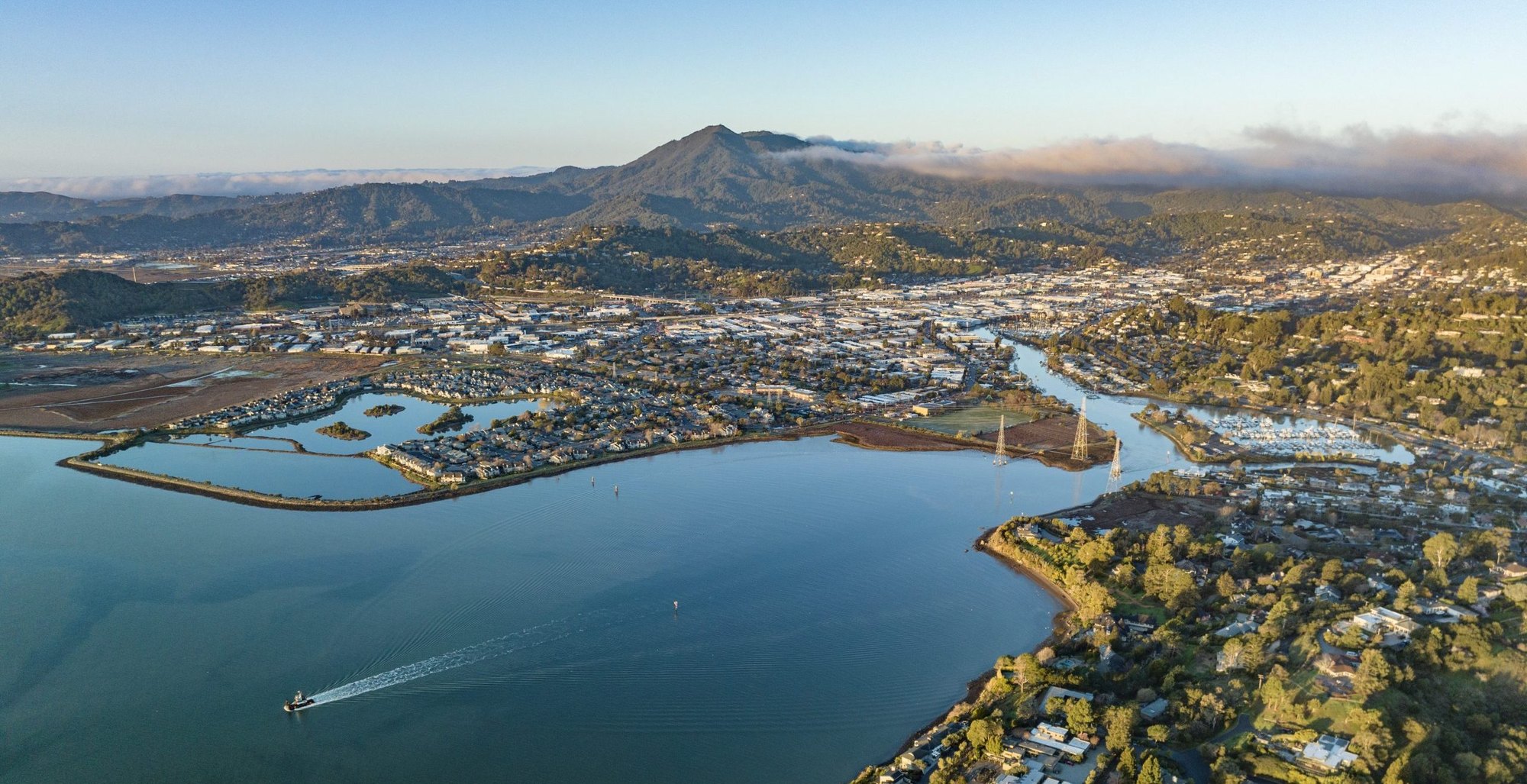
The presentation comes as San Rafael's Canal neighborhood faces heightened risk. The predominantly Latino immigrant community of about 12,000 residents, built on settled landfill that continues to sink, saw bay water flood homes, vehicles and businesses during a king tide event on Jan. 3. The neighborhood is hemmed in by highways on one side and the bay on the other.
"Don't wait for the first atmospheric river to think about your disaster readiness," OEM Director Steven Torrence said in the county's Aug. 13 announcement. "We can't predict how this winter will unfold, but we can prepare for the wide range of possibilities."
What the county is doing
The Department of Public Works and the Fire Department's Office of Emergency Management will jointly present the plan. Key elements include:
- Evaluating temporary flood barriers and coordinating operational planning before winter storms arrive
- Running emergency exercises with cities, towns, first responders, utilities and other partners across the county
- Expanding AlertMarin's location-specific alerts for areas prone to coastal, bay and creek flooding
- Collaborating with the National Weather Service to sharpen local forecasting and public communication
The Flood Zone 9 Advisory Board approved $250,000 at its June 25 meeting for initial preparations, with public works engineering manager Robin Bartlett telling the board that king tides would get "extra attention based on our recent lessons learned," as reported by the Marin Independent Journal.
Why scientists are alarmed
Dr. Mark Merrifield, director of the Center for Climate Change Impacts and Adaptation at the Scripps Institution of Oceanography, told a virtual town hall hosted by state Sen. Mike McGuire on Aug. 4 that sea levels in the eastern Pacific are already more than half a foot above normal. Historically, El Niño events have pushed San Francisco Bay levels an additional half-foot to a full foot above average, peaking in November and December, according to the Los Angeles Times.
The timing is bad. NOAA's Climate Prediction Center reported a 69% chance this El Niño becomes the strongest since 1950 during the October-through-December season, with greater than 90% probability of a very strong event through winter 2026-27.
The county warns the worst flooding scenarios occur when king tides coincide with heavy rain, storm surge and high winds. Marin has many miles of roads along San Francisco Bay and the Pacific that could become impassable under those conditions.
What residents should do
The county urges residents to sign up for AlertMarin, review family emergency plans, assemble supply kits and prepare homes by clearing gutters, drains and trimming vegetation. Resources are available at readymarin.marincounty.gov.
As we reported Aug. 13, El Niño preparedness is one of several items before the Board next week. Tuesday's meeting begins at 9 a.m. in Suite 330 at the Marin County Civic Center, 3501 Civic Center Drive, and will be livestreamed on the county website.
A feasibility study presented to the San Rafael City Council in June estimated long-term sea-level defenses for the city could cost up to $2 billion, with timelines ranging from 10 to 40 years depending on the approach chosen.