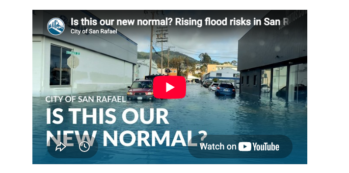
San Rafael's Canal neighborhood faces its most serious flooding threat in decades, scientists warned Tuesday, as record Pacific Ocean temperatures point toward a potentially historic El Niño by Christmas.
At a virtual town hall Aug. 4 organized by state Sen. Mike McGuire, climate scientist Dr. Daniel Swain told more than 5,700 North Bay residents that the pattern "is expected to strengthen considerably from here" and "could even become potentially the strongest on record," though he cautioned that "the big impacts will probably not arrive for a couple of months, later in the fall into winter," according to ABC7 News.
Dr. Mark Merrifield of the Scripps Institution of Oceanography warned the event could bring "likely the highest sea levels ever recorded on the California coast," with beaches statewide potentially retreating landward by about 30 meters, ABC7 News reported.
What it means for San Rafael
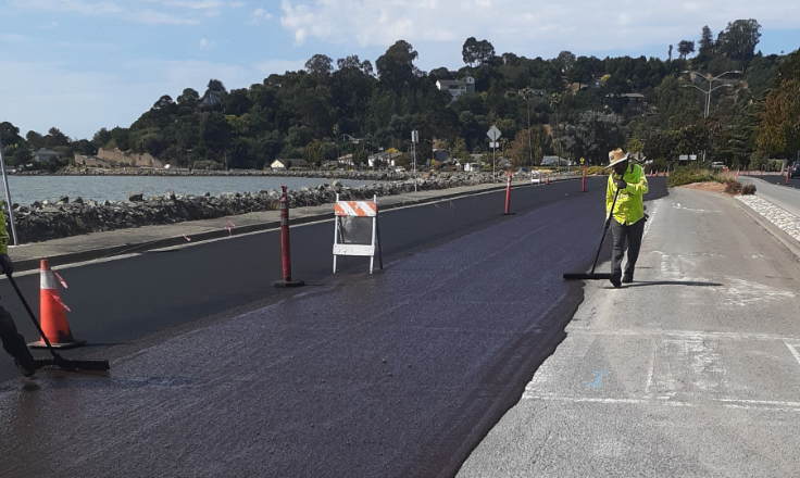
The Canal sits squarely in the danger zone. The 2.2-square-mile infilled peninsula is home to more than 13,000 residents, about 84% Latino, and much of it lies below daily high tides, according to the Marin Independent Journal. The land is built on fill. It continues to sink as sediment compacts.
San Rafael adaptation planner Kate Hagemann told the City Council on June 1 that January's flooding exposed how vulnerable the area is, saying many city streets sit below bay level and that saltwater enters the city whenever the bay rises, as reported by the Marin Independent Journal.
On Jan. 3, a combination of king tides, storms and high winds closed parts of U.S. Highway 101, flooded homes and vehicles, and left whole neighborhoods stranded in Marin County, the Marin Independent Journal reported.
A city-commissioned feasibility study estimates defending San Rafael against rising seas would cost $720 million to nearly $2 billion over 25 years, the Marin Independent Journal reported. Vice Mayor Rachel Kertz said at the June 1 council meeting that even tripling the city's budget would not cover sea-level rise alone.
County and state preparations
Marin County's Flood Zone 9 Advisory Board unanimously approved $250,000 for El Niño flood preparations at its June 25 meeting, as we reported July 20. That money will fund pump and floodgate inspections, sandbag stockpiling and contractor agreements for the Ross Valley watershed.
The National Weather Service's Climate Prediction Center has reported an 81% chance of a very strong El Niño from October through December and a 97% chance the pattern persists through early spring.
How residents can prepare
The City of San Rafael provides free sandbags at four locations during weather emergencies: Terra Linda Community Center (670 Del Ganado Road), Menzies Parking Lot (1428 Mission Ave.), Peacock Gap Park (699 Biscayne Drive) and Boro Community Center East Parking Lot (50 Canal Street).
Residents can sign up for flood and evacuation alerts at alertmarin.org and find storm preparation resources at cityofsanrafael.org/storms.
The next predicted king tide falls on Dec. 10. The San Rafael City Council is expected to hold a longer discussion on sea-level rise at a meeting on Aug. 17.